PREDICTIVE MAPPING PLATFORM
REAL ESTATE
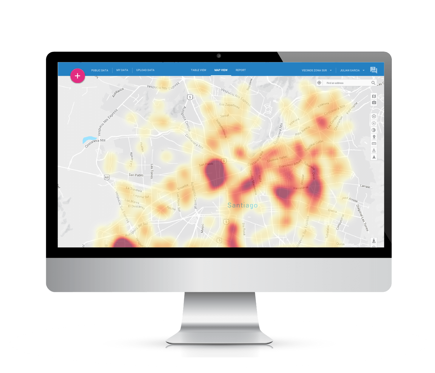
Understand city trends and create strategies to capitalize on the population growth and socio-economic development of a given region
REQUEST DEMOStrategic Planning
Identify the best places to invest, by predicting market opportunities. InstaGIS will generate a report with key performance indicators to support your decision-making process.
Satellite Images and Street View
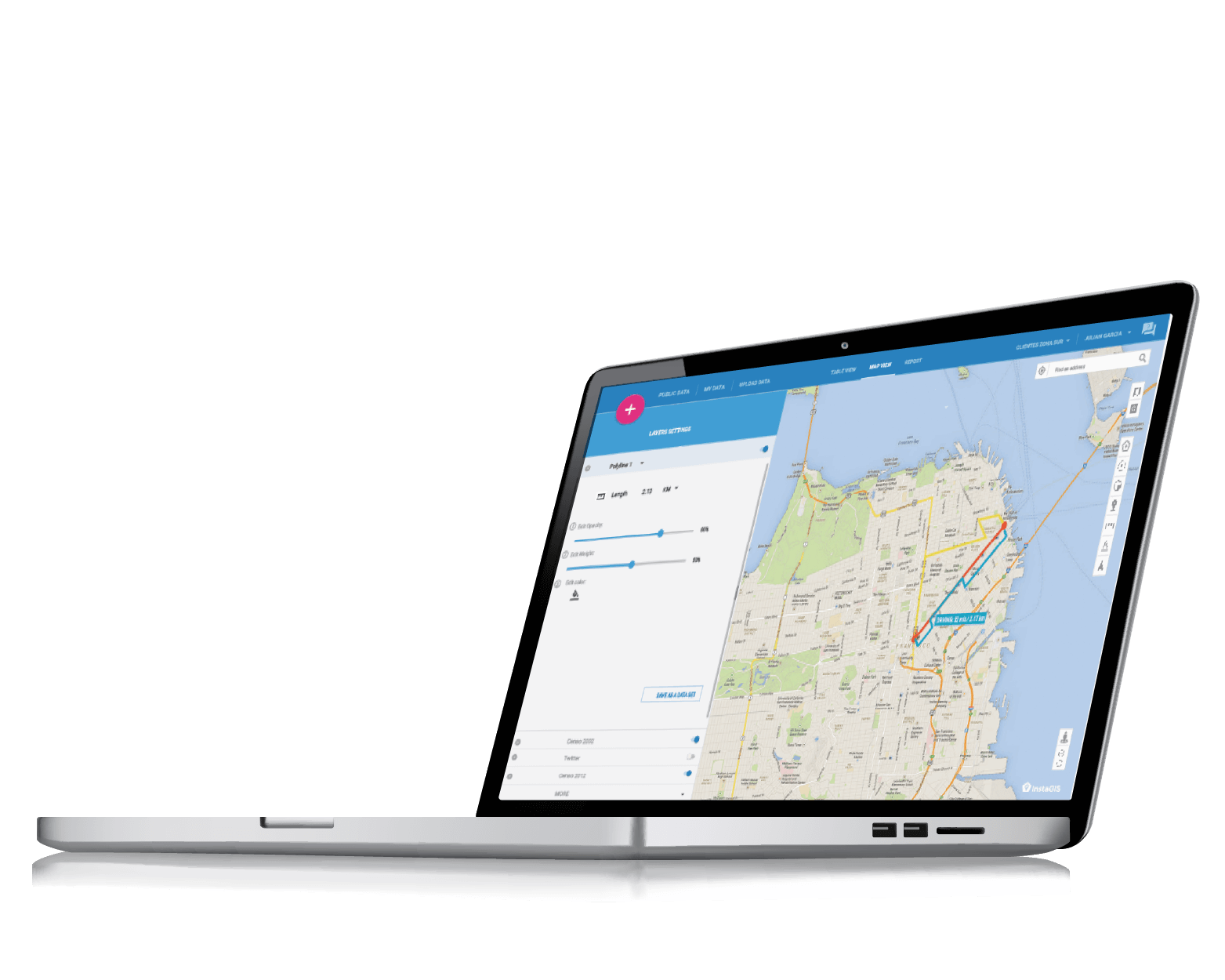
Highlight an area on the map and identify your next property using high-resolution satellite imagery.
Best Location
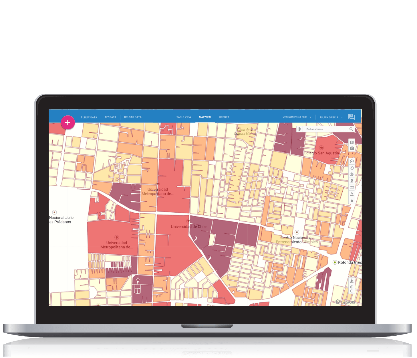
Choose the right business location considering potential demand for a given region, the traffic information and the proximity to your competitors.
Identify the main businesses and services that surround your next venture.
Whenever you show a property to potential customers, emphasize the benefits of the surrounding neighborhood, using our frequently updated dataset of shops, services and points of interest.
Pay what's fair on your next investment
Using historical information from real estate records, define how much you should pay per square foot, for your next property.
Upload and manage your strategic information
Load information for real estate projects in your area of interest, so you can understand who are you competing with, and how your offer compares in terms of price, square footage, layout and location.
InstaGIS use cases

Cuestamoras International, a company dedicated to find new business opportunities in real estate, hospitality and energy, uses InstaGIS for "Market Exploration", for which they stated that: the platform facilitates market research visualization, allowing us to understand the geographic, demographic, and socioeconomic composition of the region and define its primary, secondary and tertiary areas of influence.
In addition, they stated that they are very happy with the valuable contribution that InstaGIS provides in their daily activities, and emphasized, the great support they received in learning how to use the system.
Cuestamoras International.


GPS is a company that provides on real estate consultancy and related services focusing primarily on areas such as commercial space, Industries, Retail, consulting, tendering and property auctions.
Among the company’s recurring activities is the need to generate reports, on a daily basis, related to retail, Industries and commercial space. InstaGIS has had a fundamental role in this, as the users stated: We are working on report related to retail, in which we are geocoding every Strip Mall in the City of Santiago, in order to generate an analysis of the territorial behavior behavioral patterns. We have been able to identify the neighborhoods with the highest concentration of strip malls, and understand the territorial dynamics of the locations they pick.
GPS Global Property Solutions.


Socovesa is a company linked to the real estate industry since 1965.
Since then, they continue to find new ways to know and understand the territorial dynamics of cities, as well as customer behavior. This is where InstaGIS comes in, to support the decisions made by the Market Research unit of the company.
The analysts point out that, in general terms, we are looking for demographic background information to understand where our customers come from, which services are located near our listings, and the distance our clients will need to travel to access them if they purchase one of our properties.
The tools they value the most are: demographic analysis, isochrone generation and geocoding.
Socovesa.
